Drones
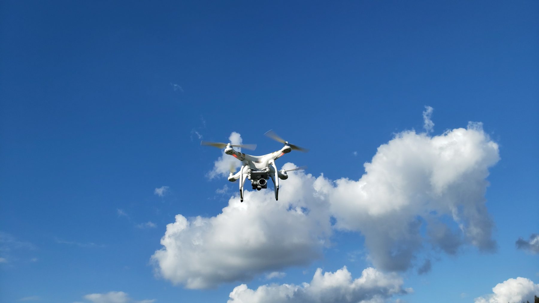
Aerial photography and video, surveying, mapping and 3D capture of sites, roofs and structures.
Drone services
Hamilton · Waikato — certified drone operator
Drone surveys, solar panel (PV) inspections, mapping, 3D printing and CAD design — run by a mechanical engineer who turns footage and scans into reports, drawings and parts.
What I do
Book one thing or string them together — a drone survey often feeds a CAD drawing, and a print often finishes the job.
Aerial photography and video, surveying, mapping and 3D capture of sites, roofs and structures.
Drone servicesThermal and visual drone surveys of PV arrays — hot spots, string faults, soiling, shading and physical damage, mapped panel by panel.
See how it worksPrecise FDM prints in engineering-grade materials for prototypes, jigs, brackets and short production runs.
Materials & sizesWorking drawings, assemblies and detailed 3D models for manufacturing, building services and product design.
Software & output